Regional Distribution and Change Dynamics of Mangroves in México between 1970/80 and 2015.

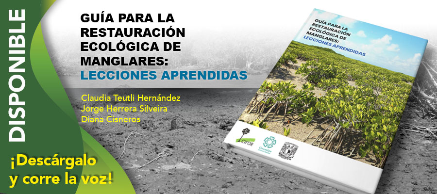
Guía para la Restauración Ecológica de Manglares: Lecciones Aprendidas
11 noviembre, 2020Publicaciones
20 mayo, 2021
We use the maps elaborated within the Mexican Mangrove Monitoring System (MMMS) project of the National Commission for Knowledge and Use of Biodiversity (CONABIO) to analyze the changes in mangrove area distribution during the last 45 years, within the framework of the coastal regional characteristics in Mexico. We found that 19% of the primary mangrove area identified in 1970/1980 was lost and that 9.4% was gained as secondary mangrove forests due to the colonization of new or disturbed areas. Using location and residence stability indexes, we identified two main change dynamics within three periods (1970/1980–2005, 2005–2010 and 2010–2015): (1) the dominant effect of climate change, especially in northwest Mexico and (2) the dominant effect of anthropic activities, mainly in the Gulf of Mexico. Significant differences in changes in the area of mangroves between regions over time highlight the relevance of more detailed and local studies to understand the processes leading to the degradation or conservation of mangroves.
Autores: L. H. Valderrama-Landeros, J. López-Portillo, S. Velázquez-Salazar, J. A. Alcántara-Maya, C. Troche-Souza, M. T. Rodríguez-Zúñiga, B. Vázquez-Balderas, E. Villeda-Chávez, M. I. Cruz-López, R. Ress.
Fuente: Wetlands 40:1295–1305.
https://link.springer.com/article/10.1007%2Fs13157-020-01299-0
Contacto:
lvalderr@conabio.gob.mx
yajvaljo@gmail.com